FIRST EDITION OF MESSAGE FROM THE PRESIDENT IN RELATION TO CALIFORNIA AND NEW MEXICO, WITH FOLDING FRÉMONT (PREUSS) MAP OF OREGON AND UPPER CALIFORNIA
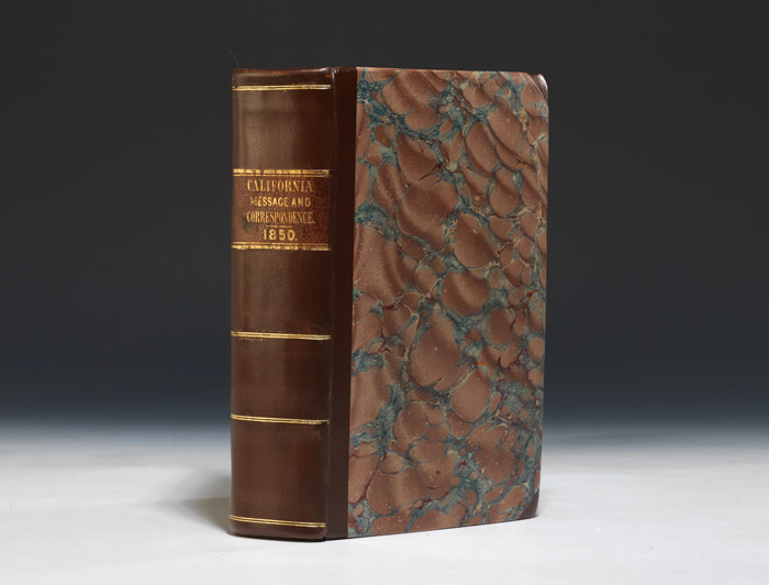
(CONGRESS). Message from the President of the United States, transmitting information in answer to a resolution of the House of the 31st of December, 1849, on the subject of California and New Mexico… Washington, 1850. Thick octavo, period style three quarter brown goatskin gilt, original brown morocco spine label, marbled boards. $1750.
First edition of the House of Representatives issue (preceding the Senate issue) of this important work on California, New Mexico, the Gold Rush, and the Mexican War, "the most extensive source of authorities covering that period," with seven maps (six folding), including the essential Frémont (Preuss) folding map of Oregon and Upper California, derived from the larger-scale map of the same name and enriched with additional detail.
"This important volume contains the official correspondence and documents relating to California, 1847-1849, and is the most extensive source of authorities covering that period. The conduct of the Mexican war in California; the formation of military provisional government, the transition from territory to state; its constitution; land titles, and many other phases of history from an official point of view form the contents. The maps are of the military fortifications of Fort Hill, Monterey; the Presidio, San Francisco; Lieut. Derby's map of the route of Gen. Riley through the mining districts in July and Aug. 1849; Frémont's survey's of California; Beale's expedition against the Indians; and two maps of Lower California" (Cowan, 40). "While most of this government publication relates to the war with Mexico and the establishment of military authority in both regions, it does include much information on the newly discovered gold deposits in California. Important are letters from Brevet Major General Persifor F. Smith, preparation for the tour of T. Butler Kind, and observations of the mining district by Military Governor Bennet Riley in July and August 1849… [The House and Senate] documents differ and complement each other. The differences, however, pertain to the conflict with Mexico" (Kurutz, 106a).
The work includes the highly desirable Frémont (Preuss) map of Oregon and Upper California. "This is the California and Great Basin portion of… [the] important and beautifully drawn map [that] became the model for many of the later gold region maps… It extends northerly only to the Oregon boundary, and easterly only to the mountains bordering Great Salt Lake on the east. Copies were tipped into" both the House and Senate editions of this work (Wheat, Maps of the California Gold Region 40 & 41). The map from which this smaller map was excerpted was "drawn by Charles Preuss, compiled from the surveys of Captain Frémont and other authorities and was at the time of its publication the most accurate map of that region extant" (Wheat, Mapping the Transmississippi West 559). Wheat notes, however, that "the reduced map of 1850 more fully renders Frémont routes of 1846 in the Central Valley than do the original issues of 1848 and 1849 in their larger scale" (Wheat, Vol. 3, p.56, footnote 7). The Senate issue was "slightly later," according to Zamorano Eighty. Wagner-Camp 179b:1. Sabin 48117 (mistitled). Zamorano Eighty 14.
Text generally fine, maps with occasional expert paper repairs, title page with small hole expertly repaired (not affecting text) and number stamped. An extremely good copy.